
What we use
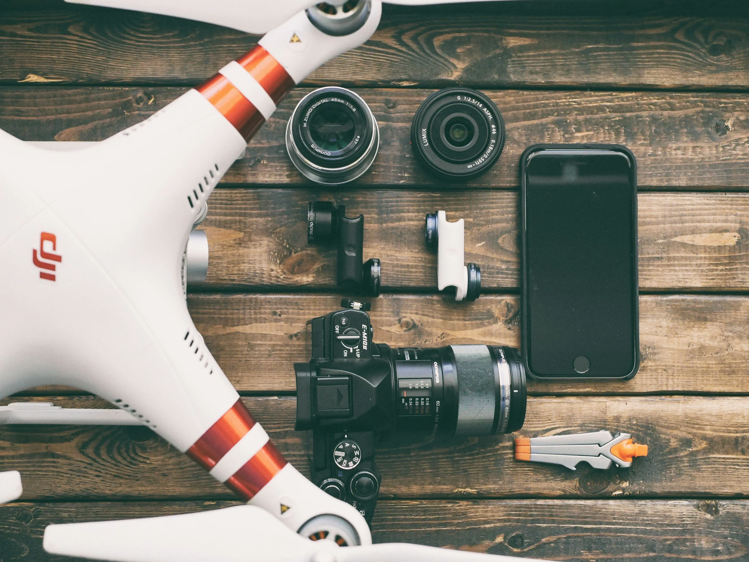
Our fleet combines advanced aerial and ground-based technology to deliver accurate mapping, surveying, inspections, LiDAR, thermal imaging, and professional data collection services.
Aerial Data Collection
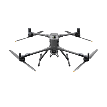
DJI Matrice 400 Platform
Commercial Mapping • LiDAR • Surveying • Inspections
Designed for demanding commercial operations, the DJI Matrice 400 Platform delivers exceptional performance for mapping, surveying, inspections, LiDAR scanning, and aerial data collection. Equipped with interchangeable payloads and RTK positioning, it adapts to the unique requirements of every project.
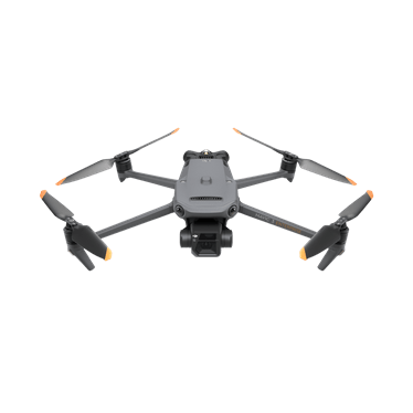
DJI Mavic 3 E/T
Mapping • Thermal • Roof Inspections
Fast, efficient, and highly portable, the DJI Mavic 3 Enterprise platform excels at aerial mapping, inspections, and high-resolution imaging. The Thermal model adds radiometric thermal imaging for roof, electrical, solar, and infrastructure inspections.
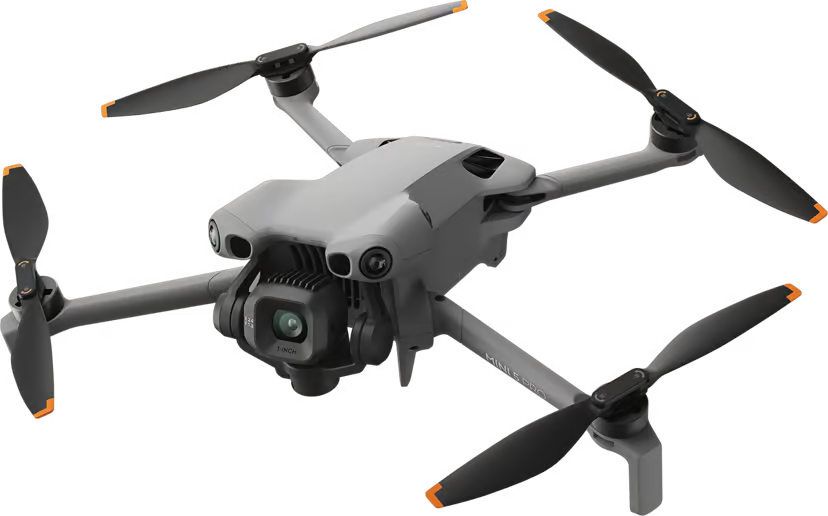
DJI Mini 5 Pro
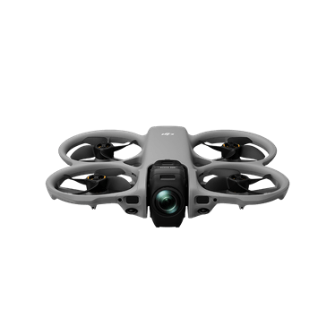
Providing a compact and versatile option for aerial data collection when a smaller aircraft is the right fit. Its portability allows us to capture high-quality aerial imagery in locations where larger platforms may be unnecessary or impractical, while still delivering professional photos and video for documentation, marketing, and site visibility.
Aerial Photography • Marketing • Video
DJI Avata 360
Immersive Tours • Promotional Content
Capture immersive 360° aerial footage that lets you choose the perfect camera angle after the flight is complete. By recording the entire scene in one flight, we provide unmatched flexibility for marketing, real estate, tourism, and promotional content.
Ground Data Collection
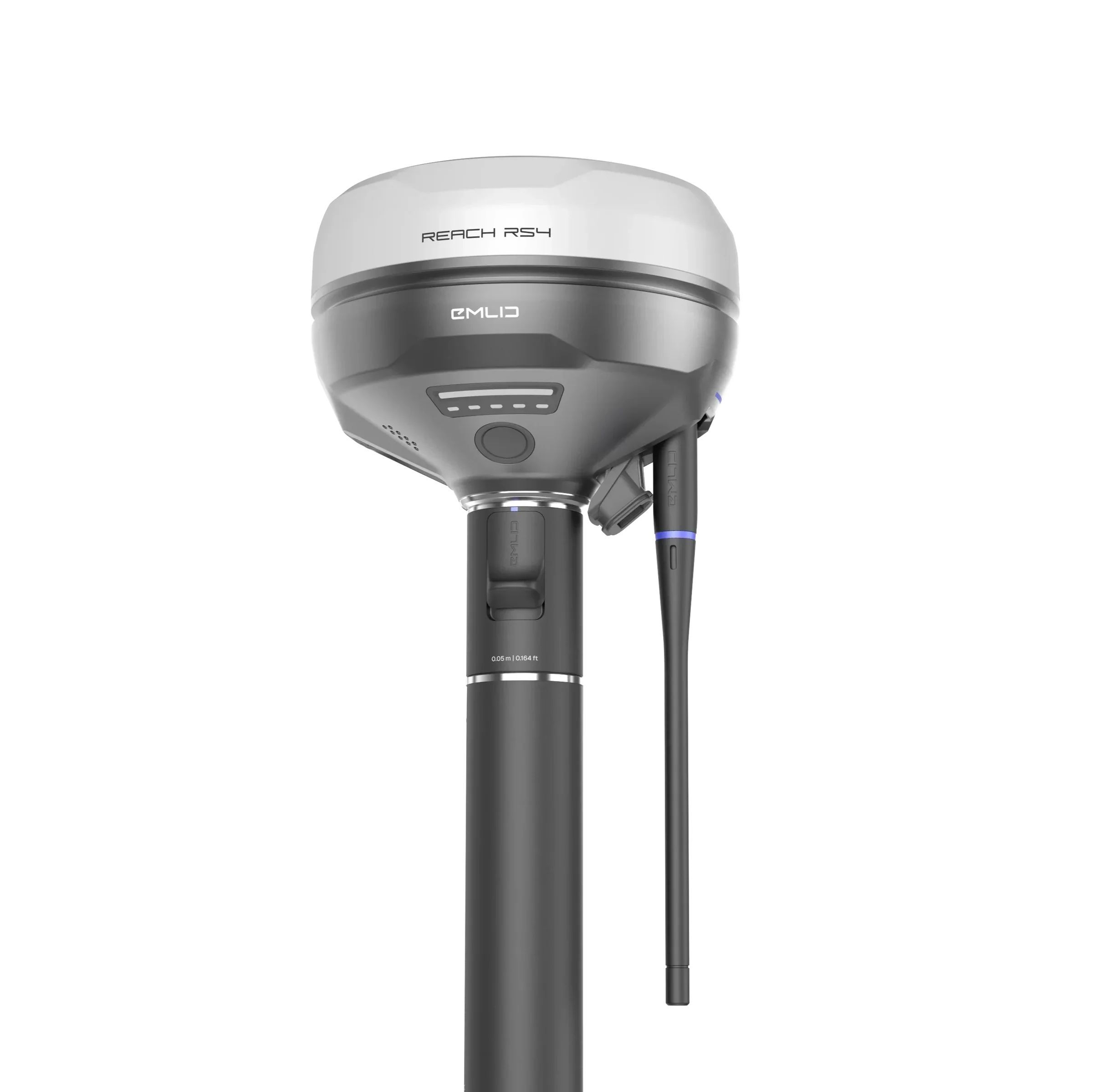
The Emlid Reach RS4 provides survey-grade GNSS positioning for establishing Ground Control Points (GCPs), checkpoints, and RTK base stations. Combined with aerial data, it delivers the accuracy required for professional mapping, surveying, and 3D modeling projects.
Emlid RS4
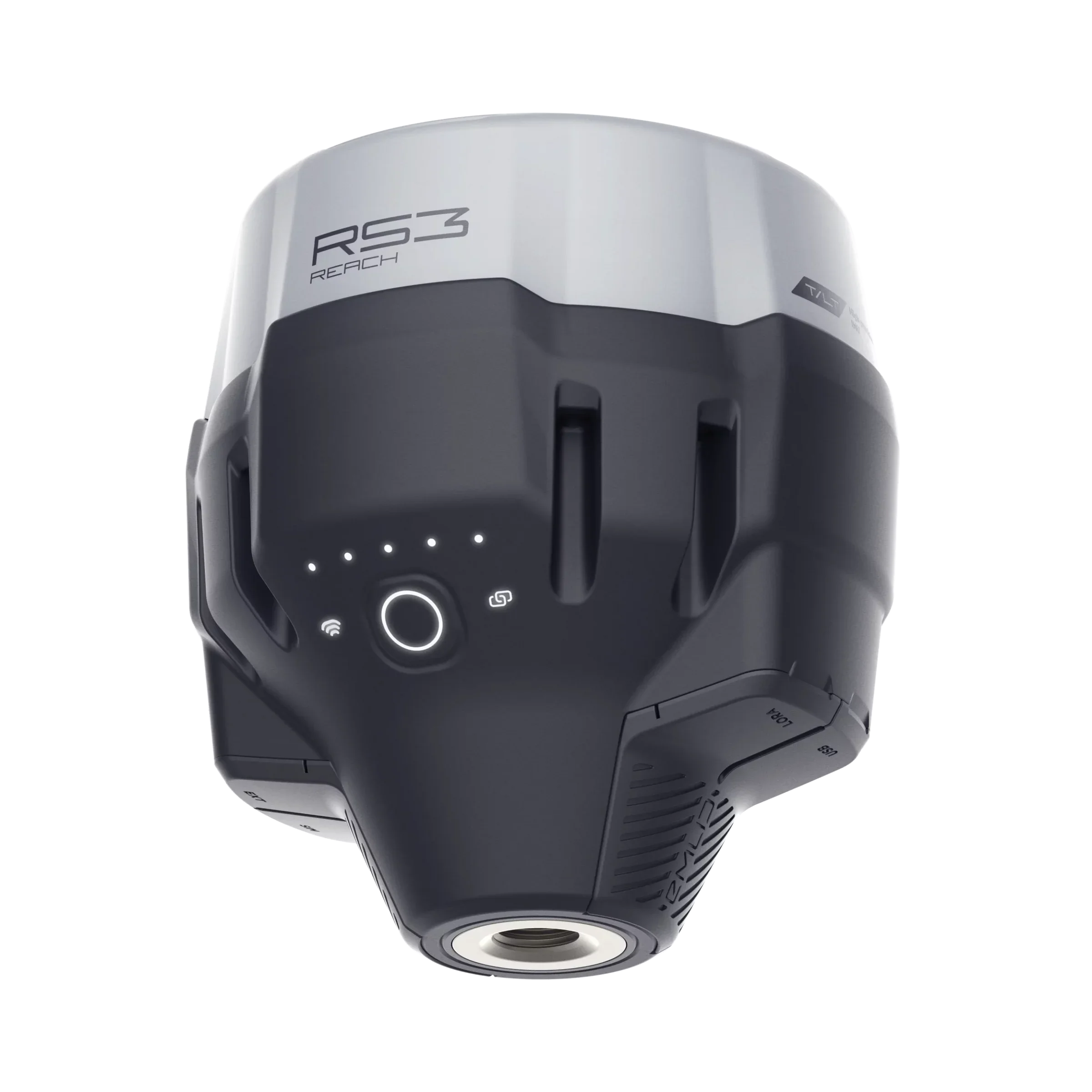
The Reach RS3 is a portable GNSS rover used to collect precise ground control points, checkpoints, and survey measurements. Working alongside the RS4, it helps verify accuracy and improve confidence in every mapping deliverable.
Emlid RS3
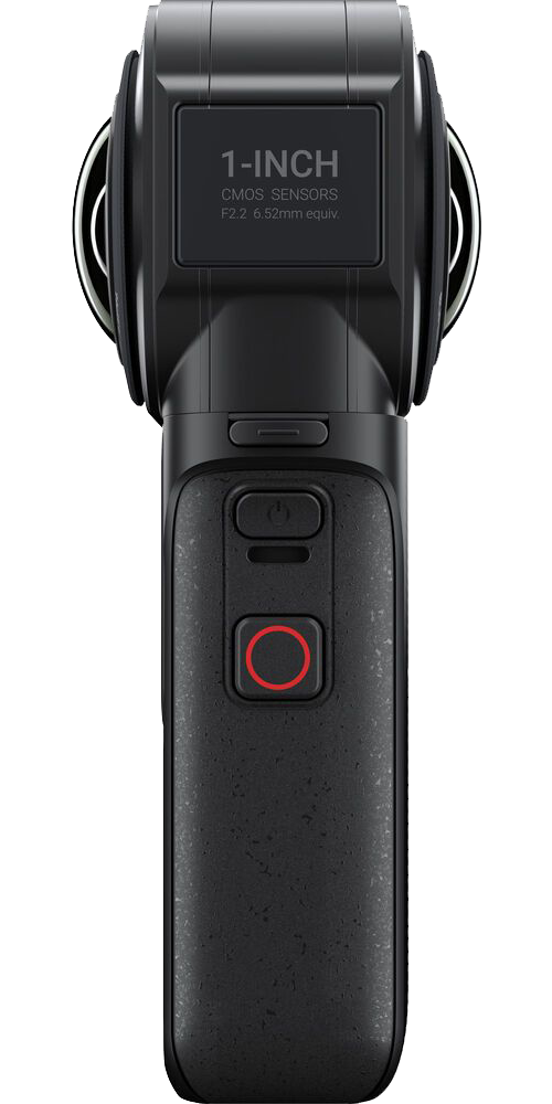
The Insta360 ONE RS captures immersive 360° imagery and video for virtual tours, project documentation, construction progress, and interactive site visualization. Clients can explore every angle of a location whenever they need it.
Insta360 ONE RS
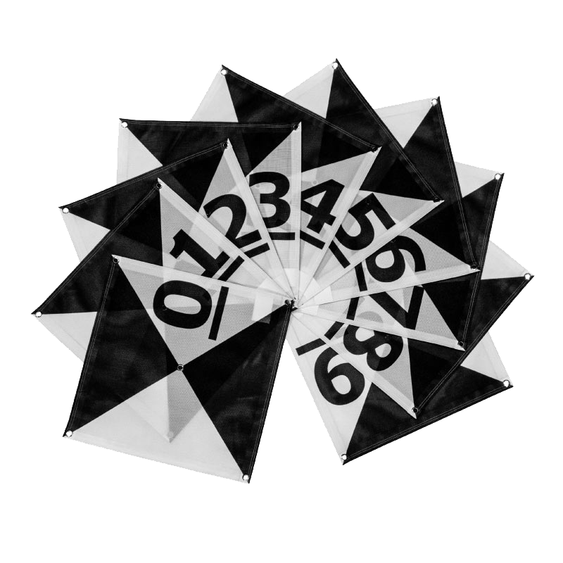
Ground Control Points
Ground control points are physical targets placed on the ground to improve the accuracy of drone mapping and photogrammetry projects. By providing known reference locations, GCPs help ensure aerial imagery is properly aligned and deliver more precise maps, models, and measurements for construction, mapping, and site documentation.